Its "filling" consists in the section near Winterscheid of younger rocks of the higher Buntsandstein (Röt) and the Muschelkalk. The main cause for the trench collapse were earth crust movements in the course of the so-called "Saxonian fracture floe tectonics", which already started about 190 mill. years ago, and intensified from the Upper Cretaceous on (85 mill. years ago).
The Muschelkalk Trail leading through the trench, which was designed by the local historian Willi Schütz from Lischeid, who died in 2017, is about five kilometers long and is suitable to bring the hiker calmness and sensitivity for nature. Through appropriate information boards, the path offers
- an insight into the geological formation of the Middle Triassic period (244 to 235 million years before today),
- information about the fossil creatures found here,
- records of the former limestone mining,
- information about the plant and animal species that currently occur here and are dependent on the Muschelkalk.
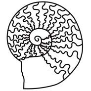
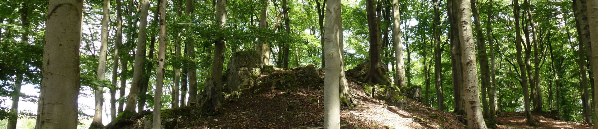
The route is marked by a symbol depicting the shell of a cephalopod (ceratite). The circular route leads in sections through the 43-hectare "Kalkkuppen bei Winterscheid" nature reserve. Here, rare limestone grasslands and orchid-beech forests are particularly protected.
Further information is summarized in a leaflet, which can be requested free of charge from the municipality:
Gilserberg municipality
Bahnhofstr. 40
34630 Gilserberg
Phone: 06696-96190
www.gilserberg.de