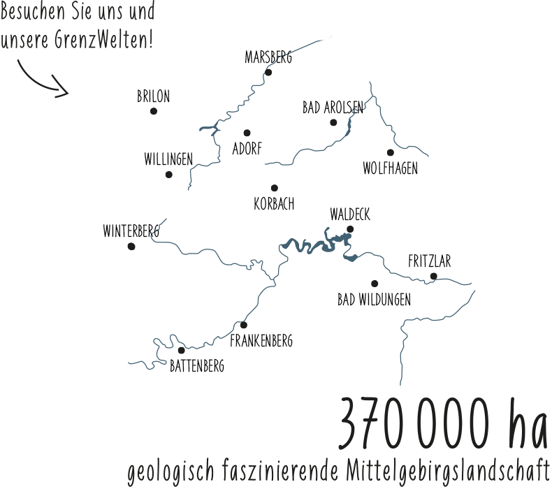
At 36 stations, a real impression of mining history is conveyed and an important segment of Giershagen's history can be experienced. Iron, copper and celestine as well as marble and slate were mined above and below ground with varying intensity in the surrounding pits until 1963.
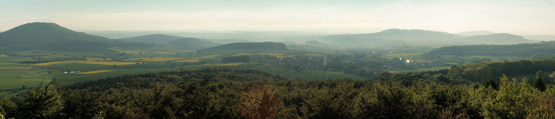
On the route you will discover places where ore was dug and find remains of former mines. You will learn about the hard work of the miners and their mining methods. You will learn to see the legacies of mining activities in inconspicuous irregularities of the surface or vegetation. Take a trip into the history of the earth and learn how the ore and rocks around Giershagen were formed! Also enjoy the impressive scenic diversity! The trail leads across plateaus with distant views of the Sauerland and the neighboring Upland, through quiet meadow valleys, sparse beech forests and through the idyllic Diemel valley.
Tip
The 18 km long trail can be walked in two sections (south and north route). Start is at the church square in the village center of Giershagen. It is recommended to walk the trail in the order of the stations (south route station 1 - 18, north route station 18 - 36), as the information on the panels are chronological. If required, guided tours can be booked for groups.
For more information, please visit:
Or have a look at our flyers in our Infothek: