The rocks in the vicinity of the village of Schönau in the southern Kellerwald have undergone a varied geological history. Geologically, the Kellerwald belongs to the Rhenish Slate Mountains, the eastern part of which extends from the Taunus to the Hochsauerland. The Rhenish Slate Mountains are part of an ancient folded mountain range, which was formed about 300 million years ago by the collision of two crustal plates.
Before this collision, the Kellerwald formed part of the southern rim of the large continent "Laurussia". The rock units of today's southern Kellerwald in the area of Schönau were part of a micro-continent called Armorika, which separated from the northern edge of the African plate (Gondwana) and moved northward over millions of years in the course of the continental drift. During this collision, rock packages were sheared off Armorika and pushed onto the southern margin of Laurussia.
As a result, rock sequences of the former African earth plate appear today in the southern Kellerwald.
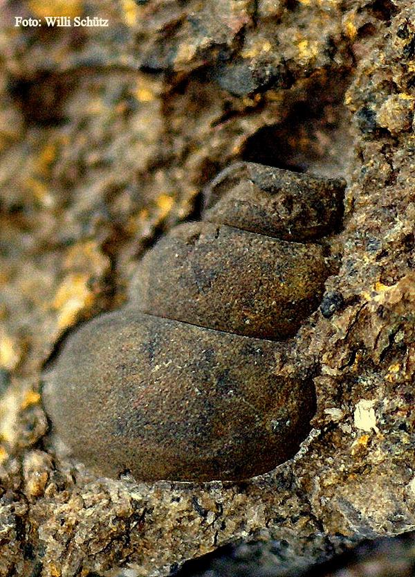
On the geological trail you will discover in the surroundings of Schönau the remains of rocks that once belonged to Africa, exposed by erosion. The trail begins at the parking lot in front of the village community center in Gilserberg-Schönau, where the first station provides information about the "migration" of the continents from which today's Europe was formed.