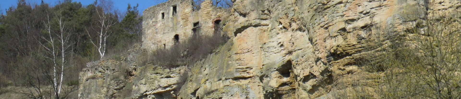
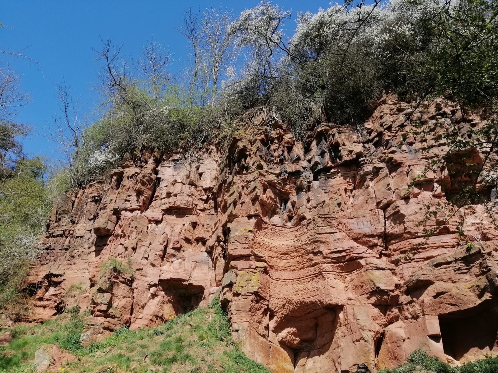
The Geismar GeoPath is a section of the planned Zechstein Trail, which connects the "Hohenäcker" quarry near Frankenberg with the "Korbacher Spalte". The stations shed light, among other things, on important geological outcrops such as the former sandstone quarry "Dohlenfelsen" and the "Weißen Berge", where once the "taube" rock was stored on a dump.
The trail leads through a former mining landscape, where copper ores were mined from the 17th to the 19th century. Mainly the old ore dumps can still be seen. About 45 dumps, which were created at the shaft entrances, still bear witness to the more than 100 shafts that were driven into the rock during the 200 years of mining history.
The town of Frankenberg (Eder) has published a folding map containing a detailed description of the route. To be ordered free of charge from:
- City of Frankenberg (Phone: 06451-505 135)
- Local history and culture association Geismar e.V. (Telefon: 06451-3339)
The small museum in the center of Geismar, where the starting board of the GeoPath is located, is definitely worth a visit. In the museum, visitors can learn interesting facts about the village's eventful mining history (for opening hours, call 06451-3339).