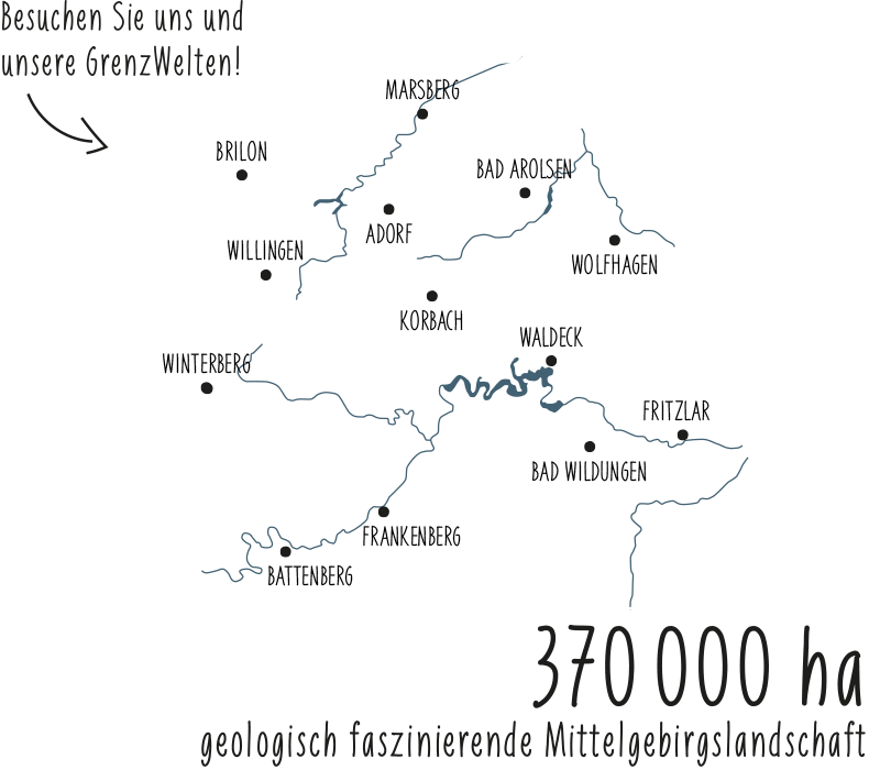
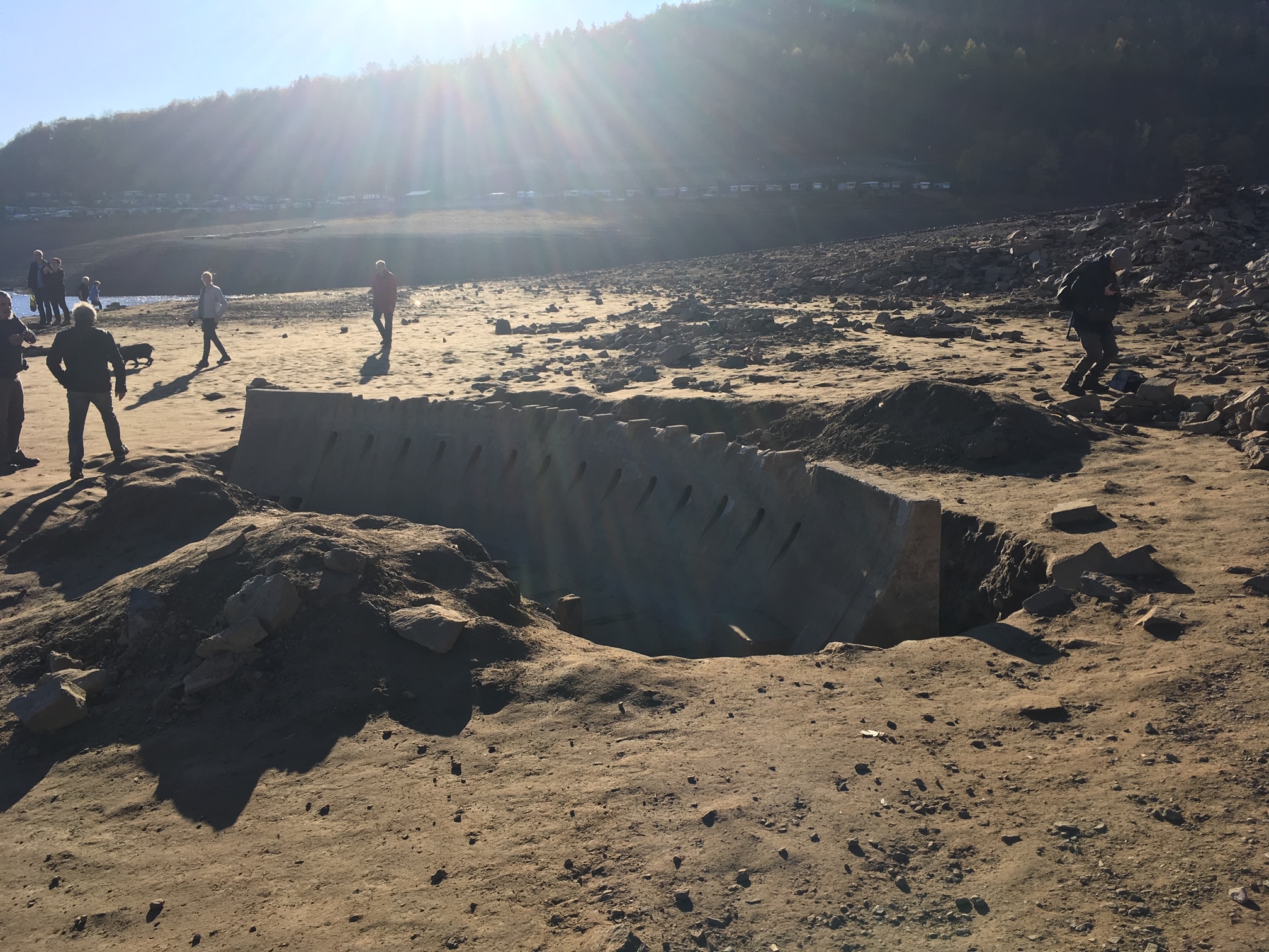
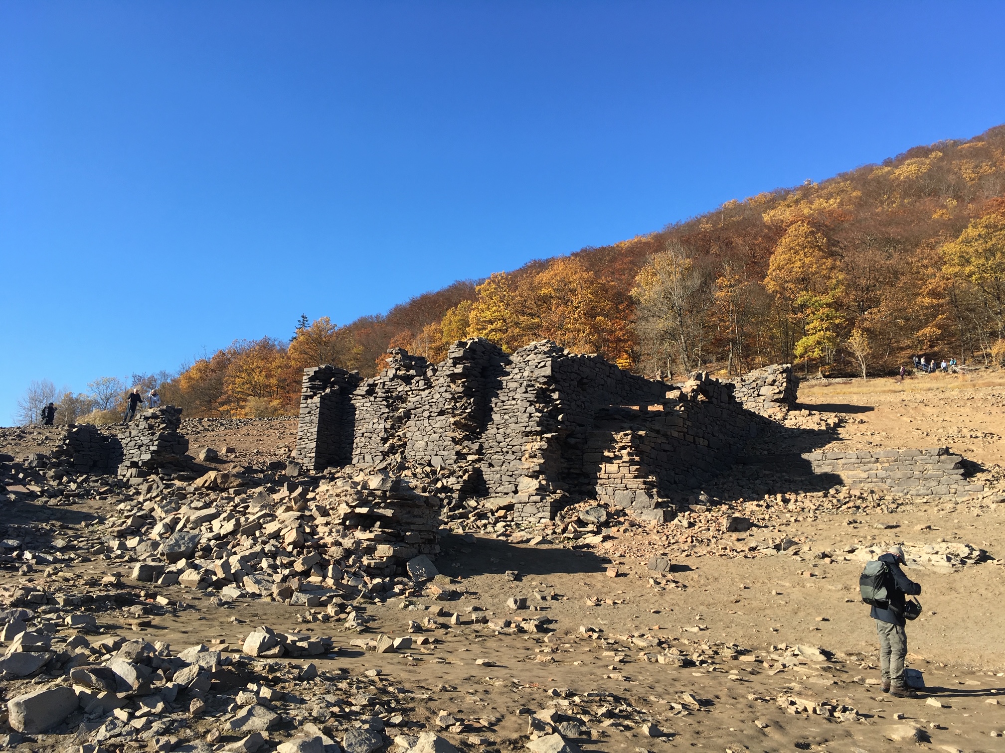
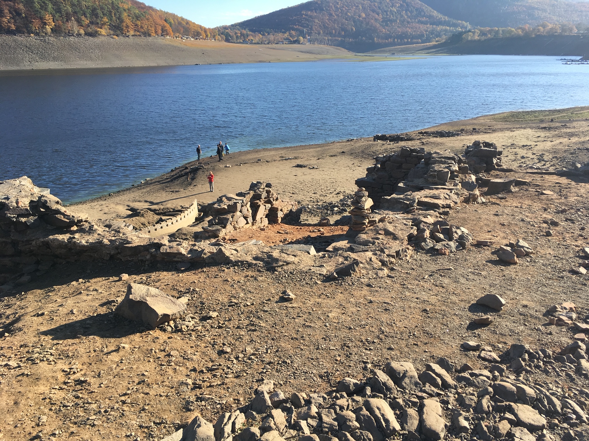
For example, the old Eder bridge between Asel and Asel-Süd, the sunken cemetery of Bringhausen and near Alt-Berich the dam model, the foundation walls of the former church and remains of the Bericher Hütte. Ores were smelted in it, which were transported on the ironstone route from the Adorf mining district to the former Eder valley.
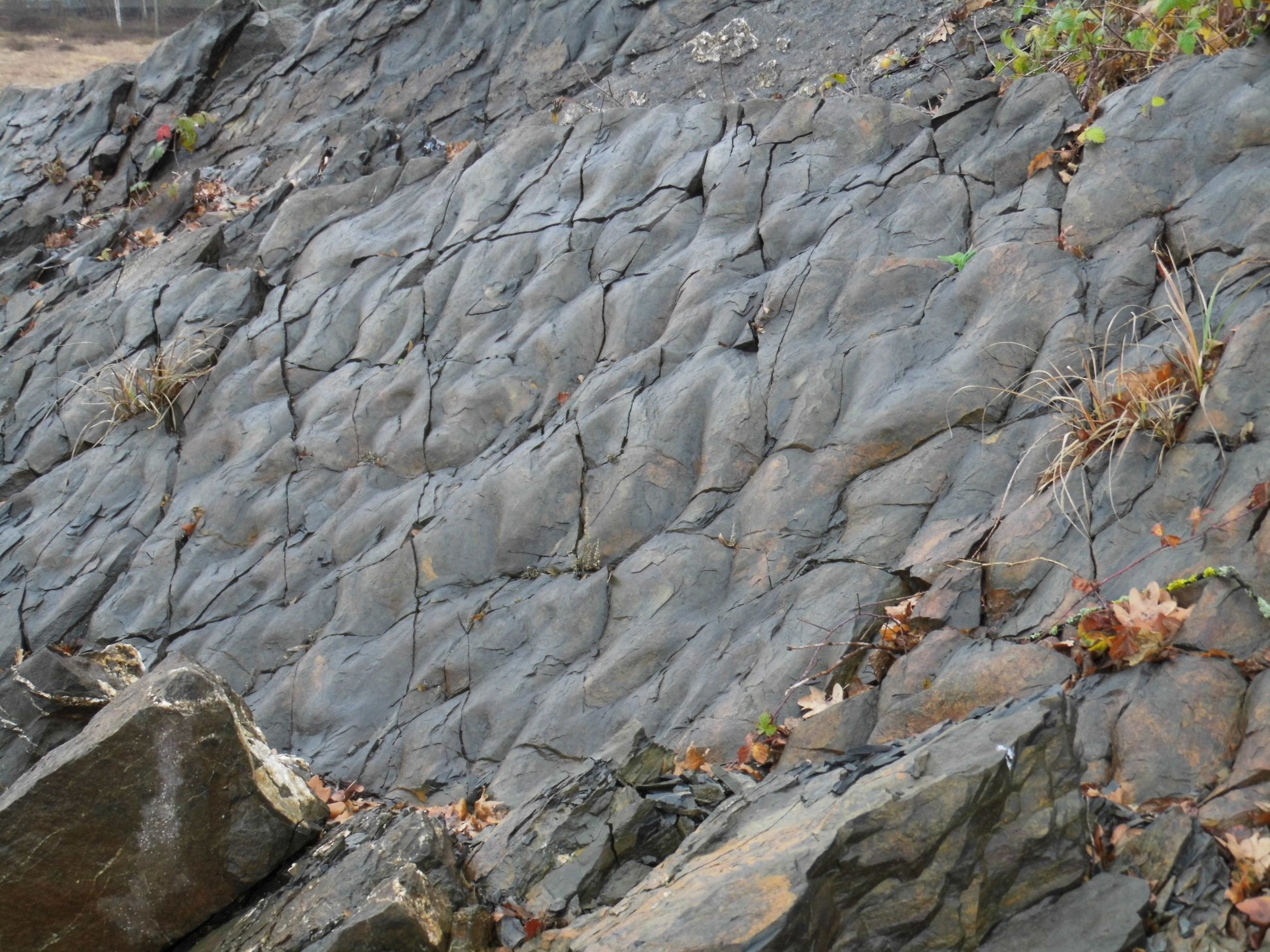
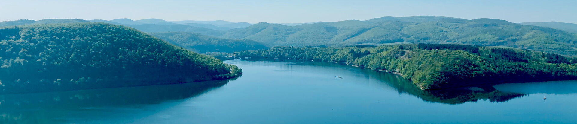
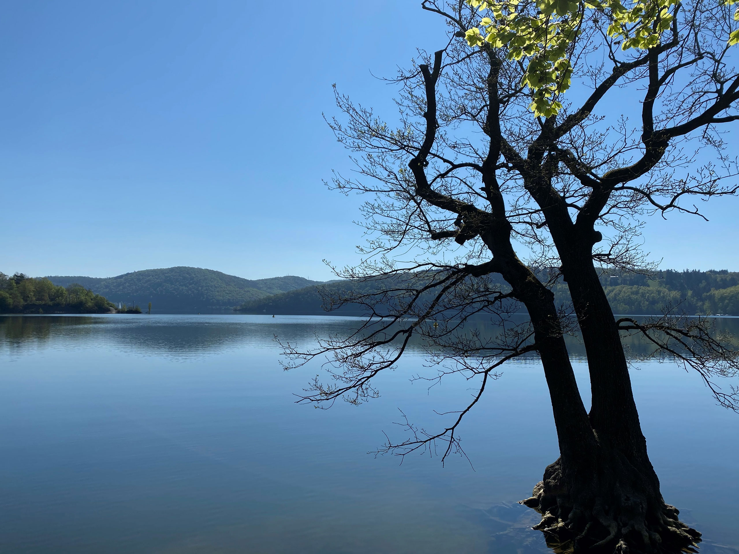
But the bottom of the lake also holds other treasures. Mudflats and siltation areas with rare plants populate the areas that dry up every year and can be explored on guided "mudflat walks". The steep banks of the Edersee present the more than 320 million year old Lower Carboniferous clay slates and graywackes of the Kellerwald with their impressive mountain folds, which give an insight into the geological elemental forces during the Variscan mountain building and the folding of the Kellerwald. With a little luck and patience, fossils from the Lower Carboniferous period can be found on the rubble heaps at the foot of the slope.
Our geo-guide Edersee-Atlantis leads you to special places at and in the Edersee, which are normally under water. It can be obtained free of charge from the project office!