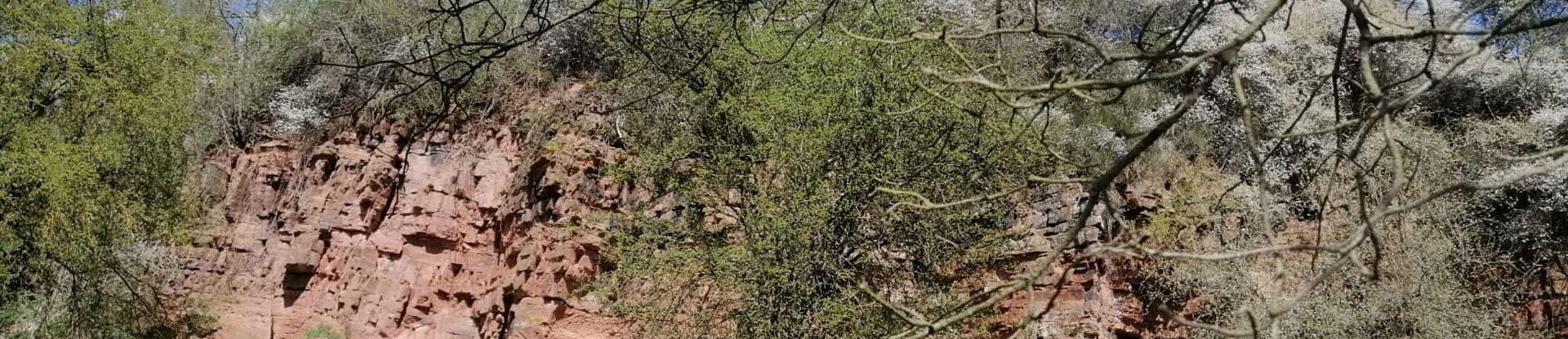
At the “Dohlenfelsen“, you find predominantly bedded, reddish fine sandstones with platy intermediate layers, the so-called "Korbacher Sandstone", which was in demand as a building stone in earlier times. In the sediments, which are colored red by iron oxide, structures can still be seen, such as sloping layers and drying cracks. They document the flow of direction of the water and the alternation of flooding and drying. These traces are exemplarily exposed at Dohlenfelsen.
The outcrop is protected as a natural monument and well represents the stratigraphic unit of the red sandstone (Lower Triassic), which occurs more frequently in the Geopark and is also widespread in central Burgwald, on Waldecker Tafel and in Wolfhager Land.
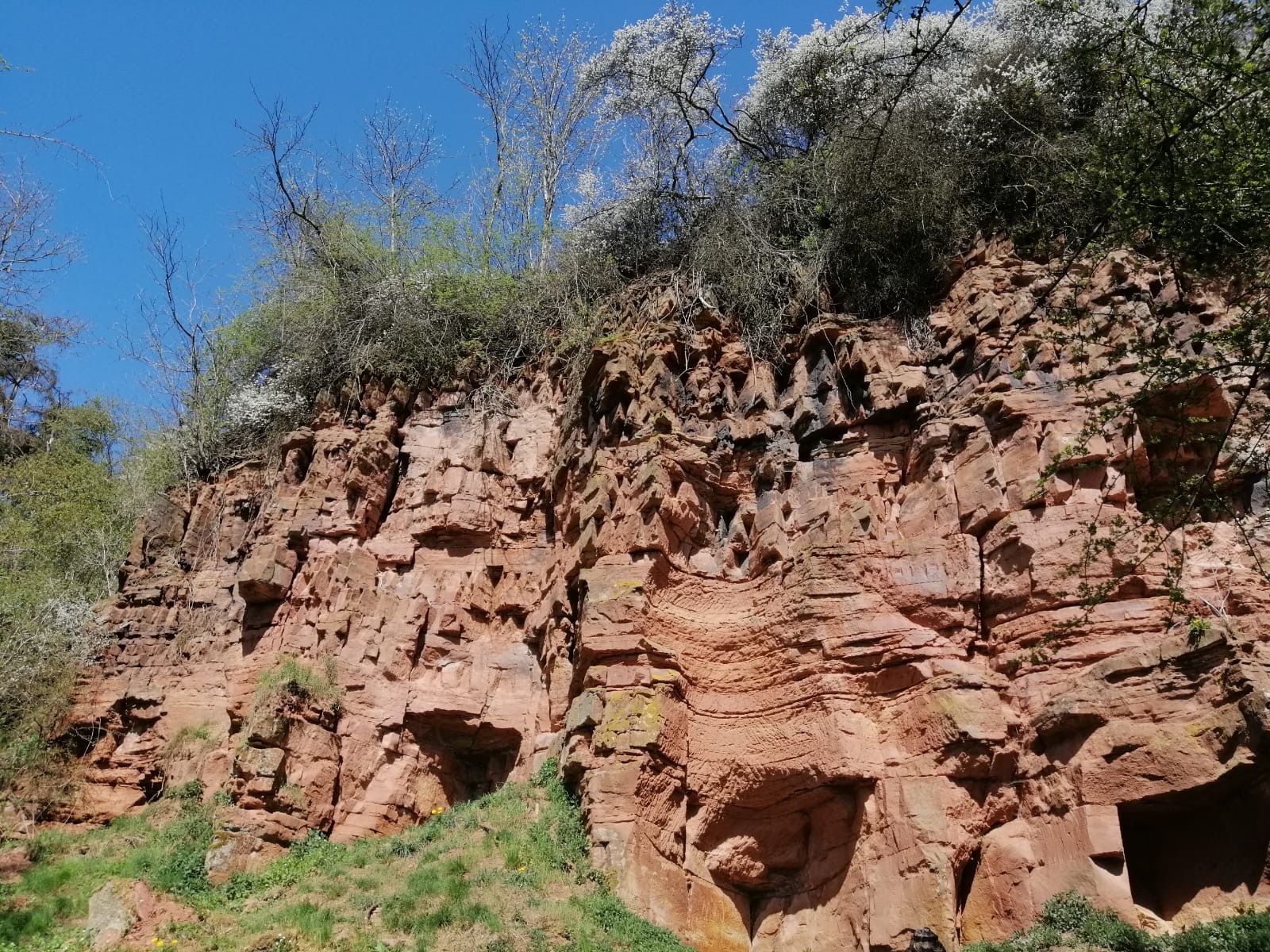
The Dohlenfelsen is located on the route of the GeoPfad in Geismar and can be combined very well with a visit to the museum of local history.